GEOvis 4.0
Platform for all your Geomonitoring Projects
Discover the Future of Monitoring with GEOvis 4.0!
Transform the way you monitor and visualize data with GEOvis 4.0, the ultimate platform designed for projects of any size. Whether you're overseeing small construction sites or large infrastructure projects, GEOvis 4.0 is your go-to solution.
Do you have a monitoring project?
We have a house full of monitoring specialsts and we are happy to help you. Get in touch for a live GEOvis demo, if you need help to select a plan that fits you or if you have any other questions.
Revolutionize the way you monitor
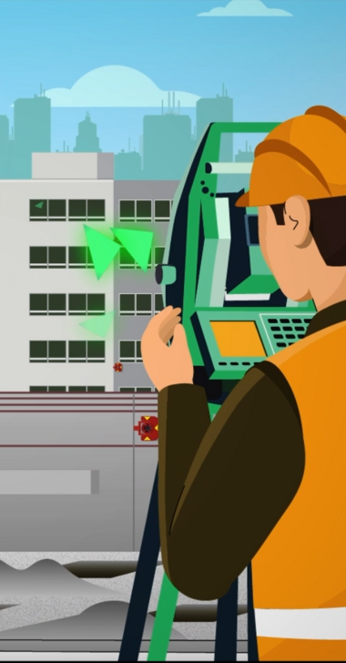
- Whether you have a small construction site or large infrastructure projects, manual measurements or automated sensors - visualize your data with GEOvis 4.0 and give access to your clients.
- GEOvis 4.0 processes various types of survey data and offers a tailor-made solution for all construction professionals.
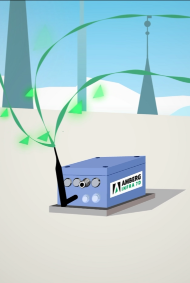
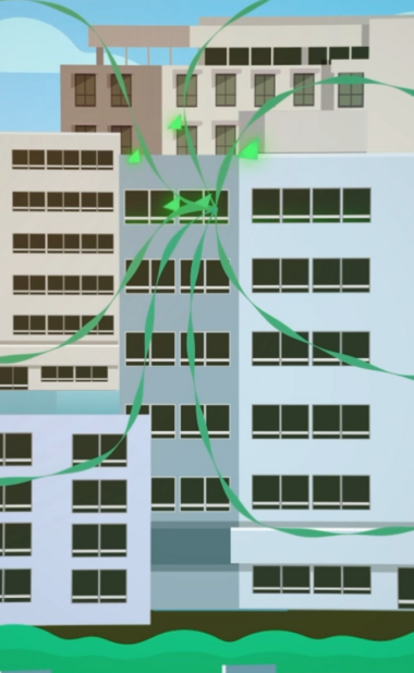
- The platform automates the data exchange with all types of sensors, IoT and external 3rd-party platforms.
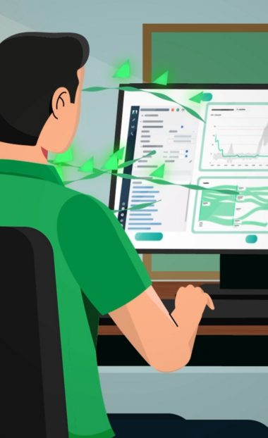
- Interactive maps and graphics give you important insights in an intuitive way.
Digital project supervision
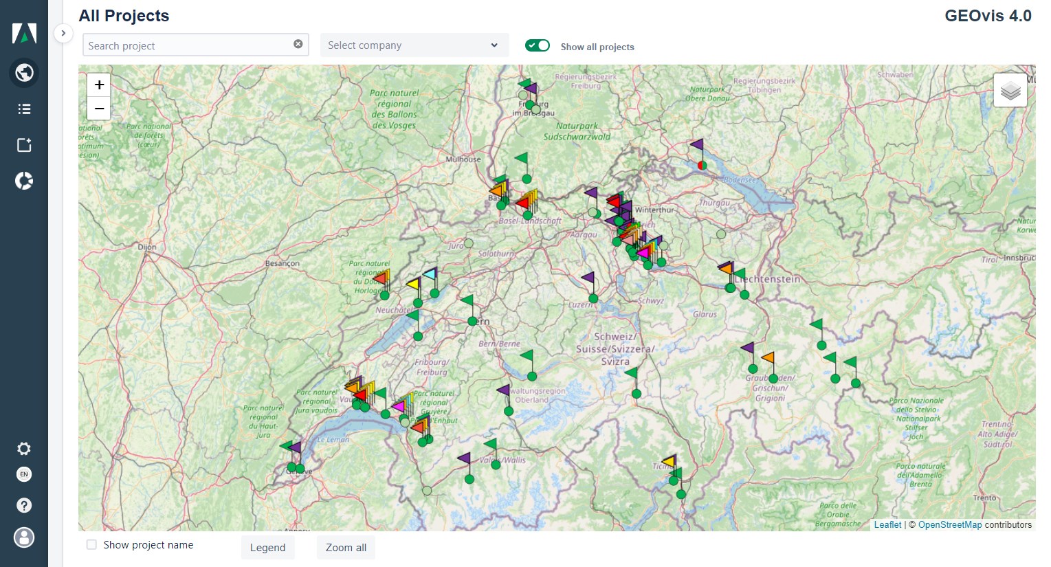
With GEOvis 4.0 you can efficiently supervise and administrate projects. Import, process, visualize and export measurement data anytime and from anywhere.
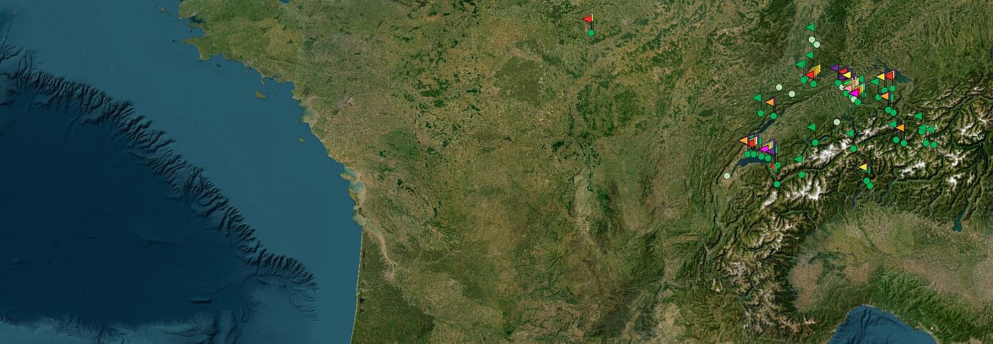
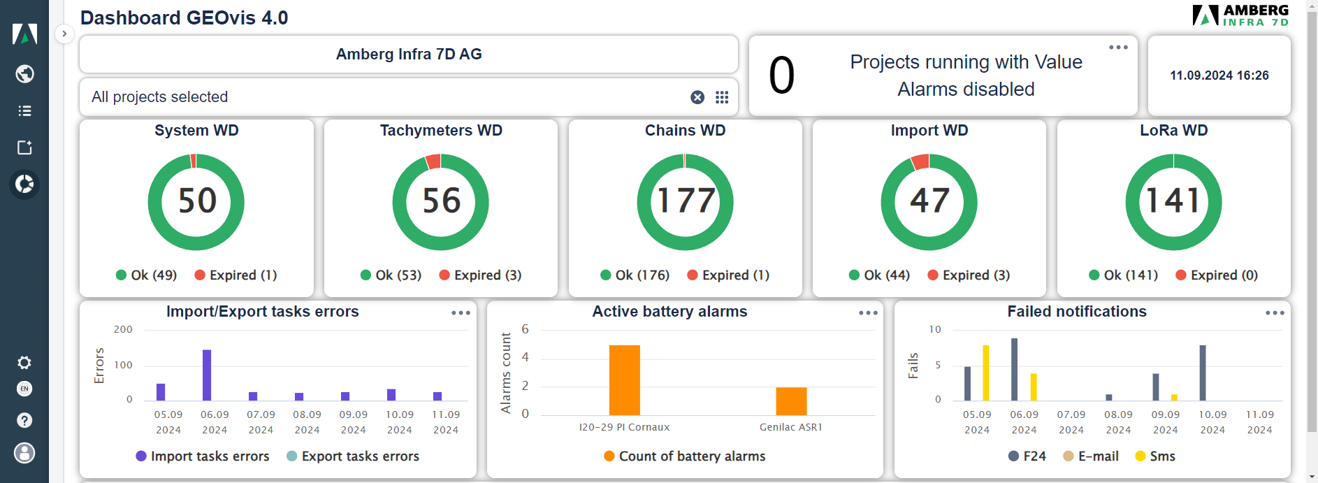
Overview maps and dashboards show you the project status at a glance.
- Virtual sensors will help you to extract and visualize information for deeper understanding.
- Give 24/7 access to your results on GEOvis 4.0 with customer-specific access rights and logins

Data control and alarming in real time
- Create individual measurement reports, fitting your preferences.
- Export measurement data, graphs and reports to third party platforms.
- Send automated daily or weekly reports to your customers.
- The integrated alarm function enables you to react to limit exceeding in real time.
LICENSING
Pick the plan that fits your monitoring needs
Ideal to begin your GEOvis journey.
Do you want to get a clear overview of your manual monitoring projects?
With this license you can manage up to 10 monitoring projects. All reporting features are fully available so you can extract all the valuable insights.
► Up to 10 manual projects
► Reports
► Report templates
► Logbook
► DXF Overlay
BASIC
Upgrade your projects with automatic monitoring!
Do you need to send data from remote locations with LoRa sensors? Would you like to set up virtual sensors to make the data evaluation even easier? Then this is the right license for you!
► All basic features
► Unlimited projects
► Automatic import and export
► Virtual sensors
► Document storage
► LoRa
ADVANCED
Stay safe with Alarms! Enjoy the peace of mind.
Be informed always when the thresholds are exceeded. Red light, SMS or e-mail will inform you immediately when something is happening.
Dashboard and customizable views make it even easier for your team to check the results quickly.
► Alarm Visualization
► Alarm Actions
► Views
► Dashboard
► Meteodata
► WMTS + image overlay
► Phone support
EXPERT
Do you need to have GEOvis installed on your on Server?
If it is important for you to have the data on your own server or you have some other special needs - talk to us. We are a small enthusiastic team and we will try to find a solution.
► Installation on your server
► Other special needs
ENTERPRISE
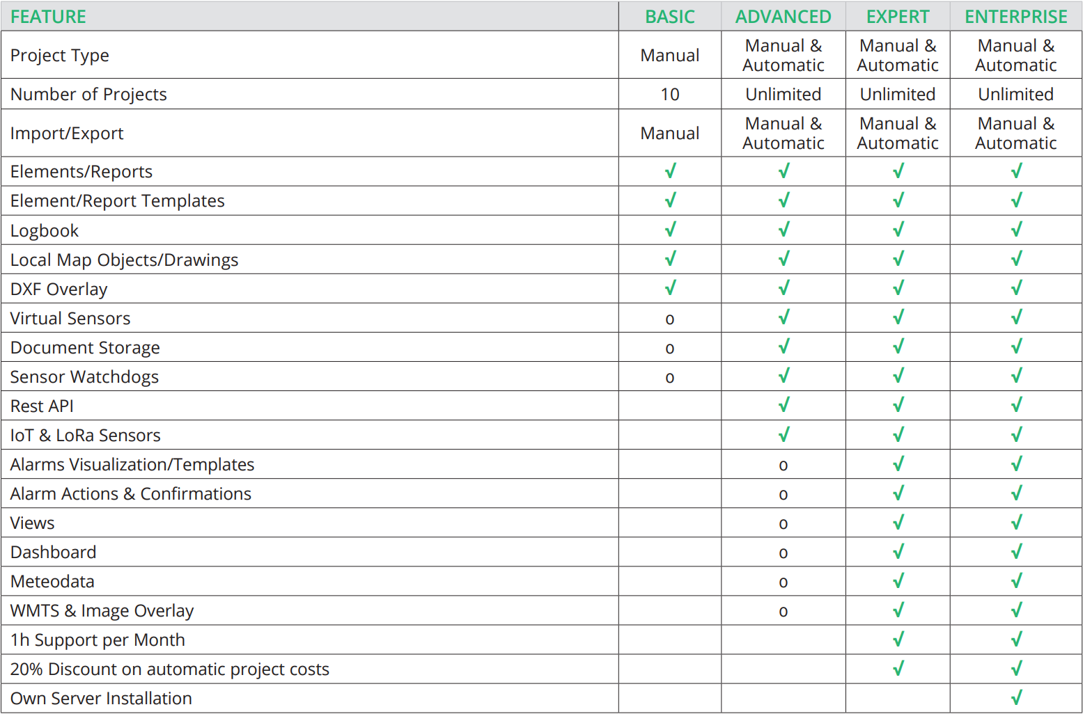
Features at Glance
Amberg GeoMonitoring Products
Amberg GeoMonitoring
Amberg GeoMonitoring offers you the highest measure of safety and economy thanks to first-class service and the utilisation of innovative technology
arrow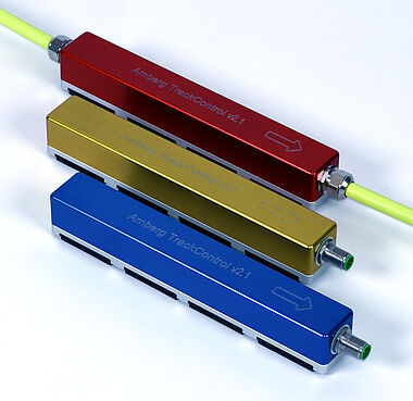
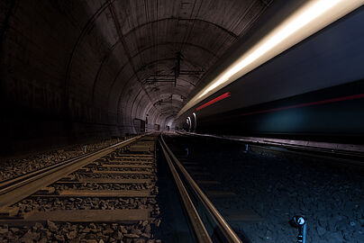
Amberg TrackControl
Amberg TrackControl is the new innovative monitoring solution for railway tracks assuring highest reliability and safety.
arrow